San Francisco battered by strong winds as California hit with another powerful atmospheric river
Another powerful storm slams into the Golden State with hurricane-force wind gusts, heavy rain and mountain snow across a region that has seen storm after storm since December.
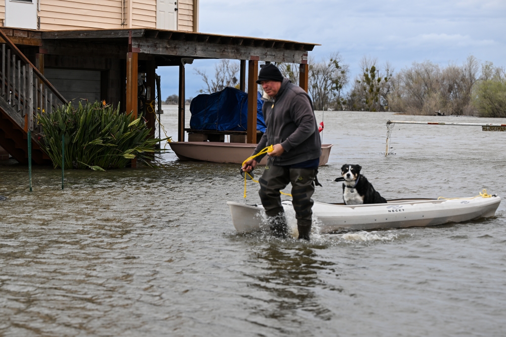
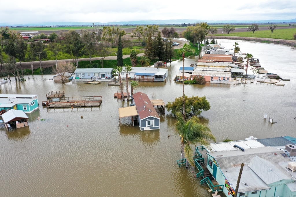
Rain falling on saturated ground is causing flash flooding and landslides. Strong winds are blowing over trees not anchored in that soggy soil leading to power outages and car and home damage.
Nearly 178,000 customers were without power as of early Wednesday according to Poweroutage, with a majority in the San Francisco area.
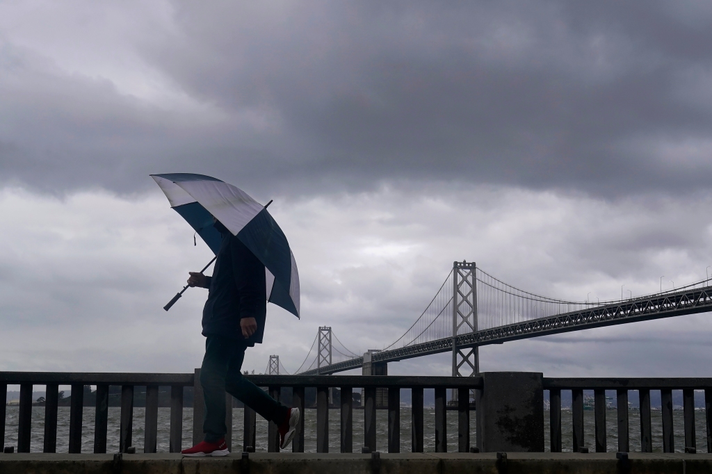
“Continuing to observe strong gusts of 50 to 55 mph, locally up to 65 mph over the East Bay as the center of the strong surface low approaches the Golden Gate Bridge,” the National Weather Service Bay Area said Tuesday evening.
In the Financial District, winds were seen blown from high-rise buildings. The San Francisco Fire Department told KTVU that no one was injured by the falling glass.
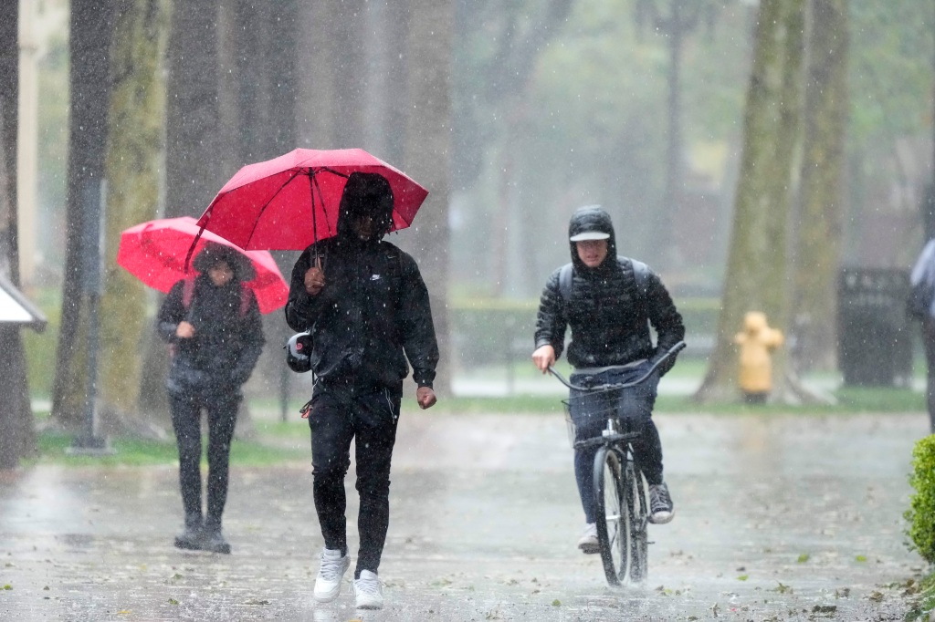
While the steady rain is tapering off from north to south, showers and thunderstorms will take over into Wednesday. That means flash flooding with a lot of rain and snow in a short period of time and more damaging winds.
The rain started pushing into California Monday night and poured through Tuesday. Showers and possible thunderstorms take over and slowly push south through the state Wednesday.
While those rains fall, heavy mountain snow falls in the higher elevations in the Los Angeles area, as well as in the Sierra Nevada, which has already seen more than 50 feet of snow this season.
That has led to numerous issues, including homes that have collapsed to the weight of the snow and forced officials to close roads.
Strong wind gusts as high as 60 mph are still possible in the mountains and foothills. Thankfully, the threat for gales will taper off through the evening.
Evacuations continue as rivers rise but rain tapers off
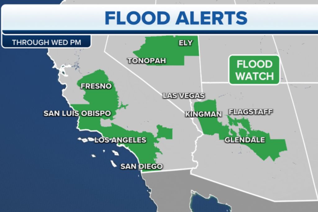
Most Flood Watches and Warnings will expire through the evening. But, Coastal Flood Advisories continue across Central and Southern California through at least Wednesday afternoon.
The NWS extended Flood Advisories to Nevada and Arizona as the storm is on the move.
Several communities are still under evacuation orders as the rivers will continue to rise even though the rains are tapering off.
Periods of heavy rain are still expected as the storm moves inland. Coastal ranges and mountains could see up to 3.5 inches more in a quick shower. Elevations above 5,000 feet could see snowfall rates.
Valleys and coastal areas could see an extra .5 to 1.5 inches tapering off Wednesday afternoon.
How much snow is expected to fall in the West?
Heavy snow will be falling in the higher elevations of the Sierra Nevada in Central California, as well as in the mountains near Los Angeles and Southern California.

Winter Storm Warnings are in effect for the southern peaks of the Sierra Nevada and higher elevations of the Los Angeles area, while Winter Weather Advisories are posted for the northern areas of the Sierra.
Travel remains difficult through the mountains and passes. The Grapevine, I-5, could see a dusting to a few inches. The Northern Sierra are looking at another 1 to 4 feet in the higher elevations. Lower elevations could see an additional 3 to 10 inches.
Southern California mountains can expect up to 2 to 5 feet of snow above 6,000 feet. Lower elevations could see 2 to 10 more inches.
Rain, snowpack helping with California’s drought
According to the latest U.S. Drought Monitor update released on March 14, only 36% of California remained in drought. That’s now the lowest drought coverage in the Golden State in nearly three years, since April 2020.
Relentless atmospheric river storms have been slamming the West, including California. In December, 98% of the Golden State was experiencing drought conditions. But as storm after storm brought rain and snow to the region, conditions have drastically improved.
The rain has also been incredibly beneficial for the state’s reservoirs, which were running dry until the onslaught of storms that started in December.
A welcome dry break in the offing for California
Once California weathers this current storm, the state should finally get a decent break from rainy forecasts.
Drier weather looms for the rest of the week once the storm exits Wednesday with the next chance of significant rain holding off until at least the middle of next week.
Read the full article Here


