Center of Tropical Storm Hilary moves into California as storm wreaks
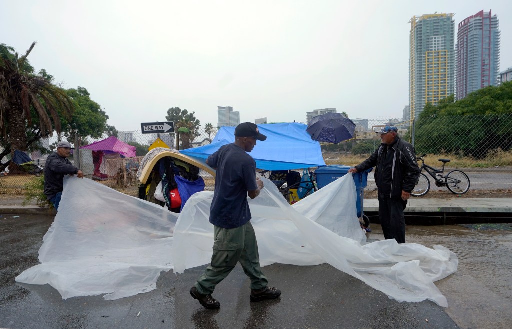
Tropical Storm Hilary’s worst impacts are being felt across Southern California and the Desert Southwest with flooding rain, mudslides and the occasional spotting of funnel clouds.
The once-Category 4 hurricane made landfall along Mexico’s southern Baja California Peninsula late Sunday morning as a tropical storm and has gradually declined in intensity since.
Due to the wide-ranging impacts, states of emergencies were issued in California and Nevada – two of the states expecting the worst of what Hilary could produce.
Hilary has already claimed at least one life in Mexico after a family of five was swept into the sea while crossing a stream in the Baja California Sur state, according to the Governor of Baja California Sur.
Where is Tropical Storm Hilary and what is the forecast?
Tropical Storm Hilary’s maximum sustained winds have decreased to around 50 mph with higher gusts, according to the latest advisory.
Weakening is expected as the core continues to race through Southern California.
More than 21 million people are under a Tropical Storm Warning that has been issued in Southern California. It covers areas along the coast from Los Angeles to the US-Mexico border, including San Diego.
It also extends inland to places such as Victorville, San Bernardino, Palm Springs and Mount Laguna.
Heavy rainfall from Hilary is expected across the Southwest through Monday morning. Rainfall amounts of 3 to 6 inches, with isolated amounts of 10 inches, are expected across portions of Southern California and Nevada.
Dangerous to catastrophic flooding is expected. Across portions of Oregon and Idaho, rainfall totals of 1 to 3 inches with local maxima to 5 inches are expected through Tuesday morning, resulting in localized, some significant, flash flooding.
NOAA’s Weather Prediction Center has issued a rare High Risk for excessive rainfall in Palm Springs, the Coachella Valley and Las Vegas, Nevada.
This is the first time such a risk has been given for the low desert regions of Southern California to the east of the mountain ranges.
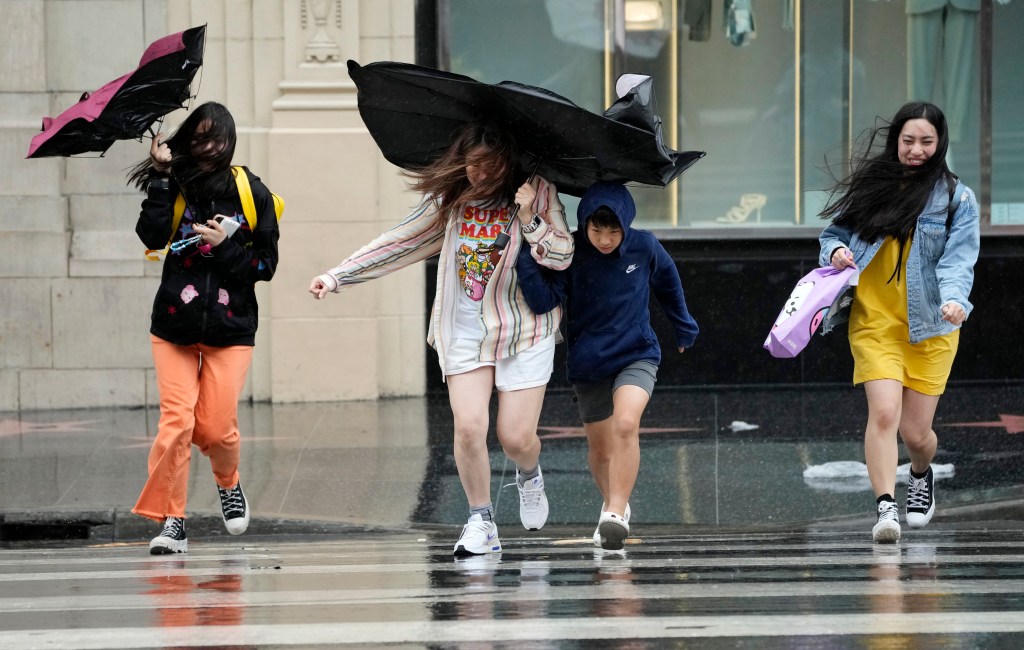
The threat of significant wind impacts continues across the southwestern US, especially in areas of mountainous terrain.
The NHC said higher wind gusts are expected will inland and will persist even after Tropical Storm Hilary becomes post-tropical.
The NHC said sustained winds of 39 mph were reported in Round Potrero, California, with a gust of 63 mph. In Crestwood, California, a sustained wind of 38 mph was recorded, as well as a gust of 53 mph.
The NWS also reported a wind gust of 84 mph at Big Black Mountain in San Diego County.

California sees mudslides and rockslides
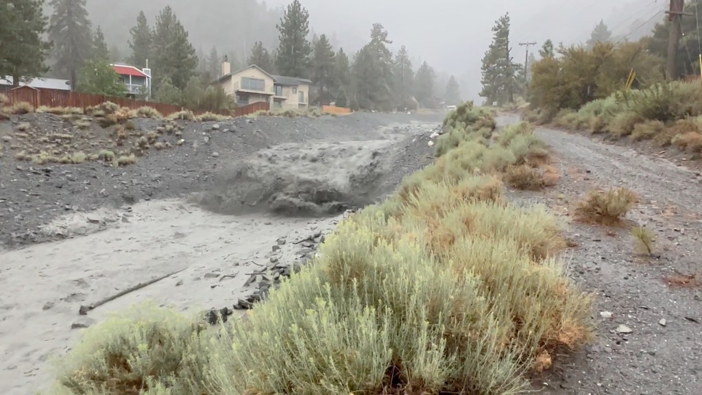
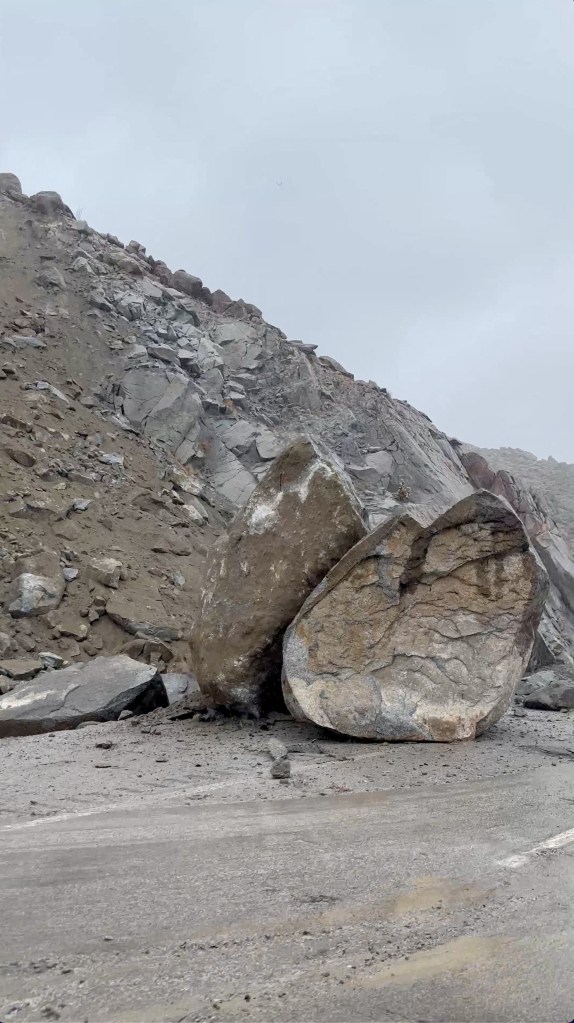
Rainfall rates of 1-1.25 inches per hour caused flooding along several southern California roadways and led to sudden mudslides and boulder falls Sunday.
A mudslide on the 14 Freeway caused several lanes to be closed in Palmdale.
Palm Springs, California, declares emergency due to flooding
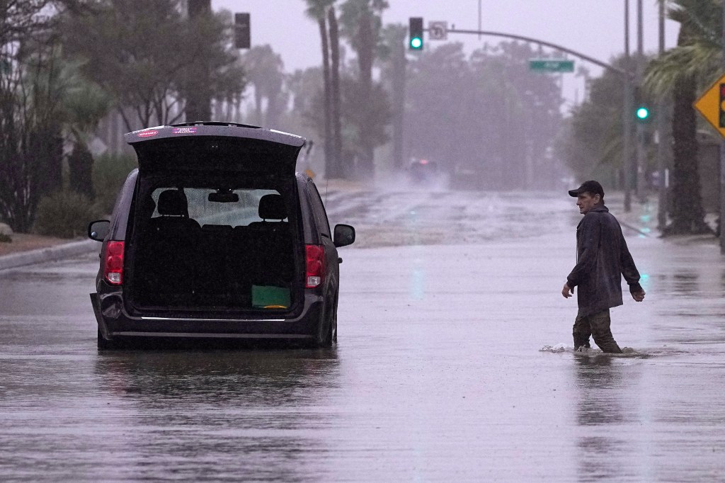
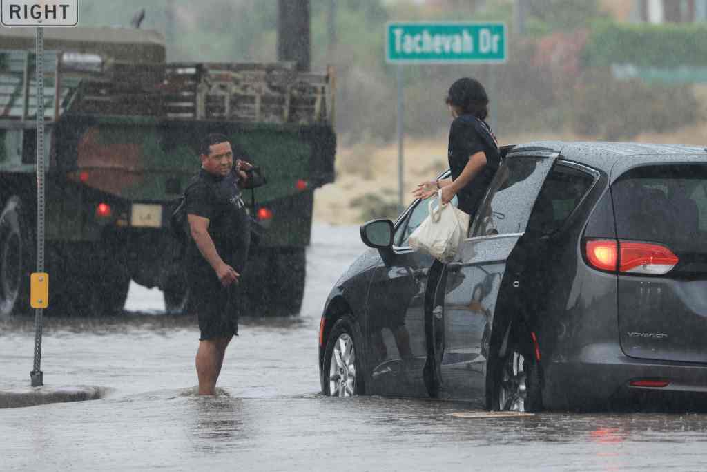
Flooding along Interstate 10 and several roadways around Palm Springs triggered city officials to declare an emergency Sunday evening.
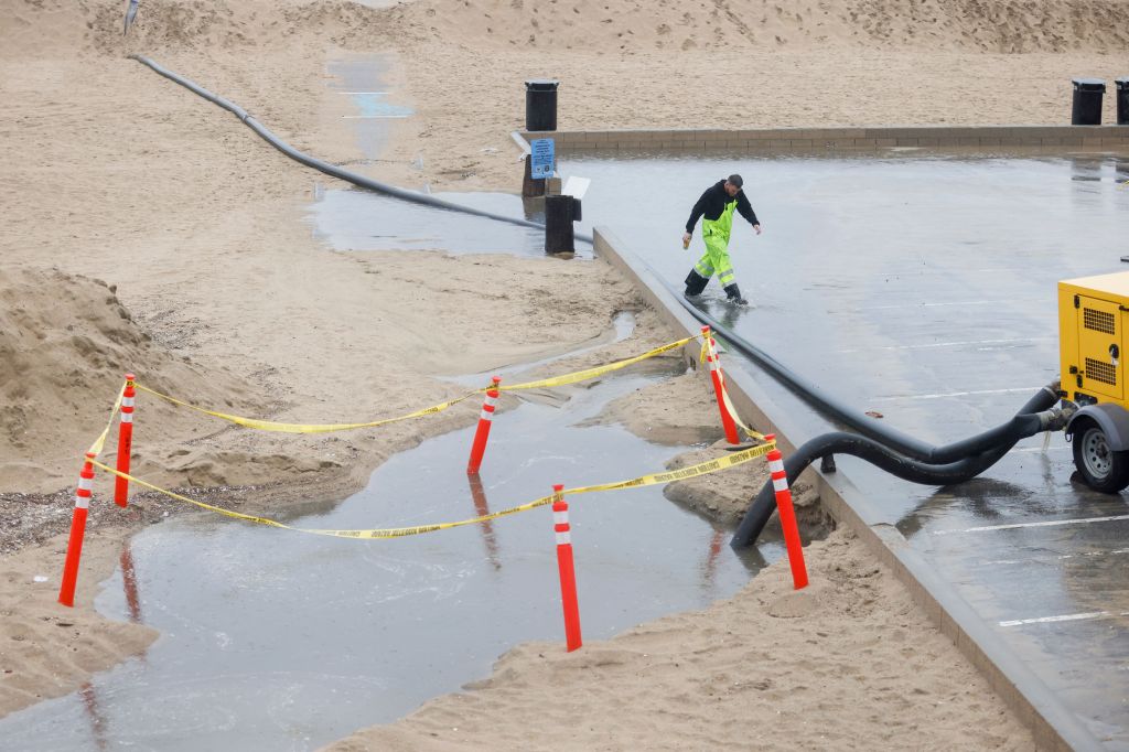
The city saw around an inch of precipitation which caused some roadways to resemble streams and lakes
At least one water rescue took place, and officials encouraged everyone to stay off the roadways until the wet weather ends.
Hilary triggers Tornado Warnings across an area that usually doesn’t see twisters
Several funnel clouds were reported across the Golden State, but as of Sunday evening, none had been reported as touching the ground.
Reports of funnel clouds came in from Fresno and east of San Diego.
The Storm Prediction Center warned of an increased tornado threat for southeastern California, western Arizona and southern Nevada due to Hilary.
Read the full article Here


