California faces ‘extreme’ risks from flash flooding as 38 million brace for heavy rainfall
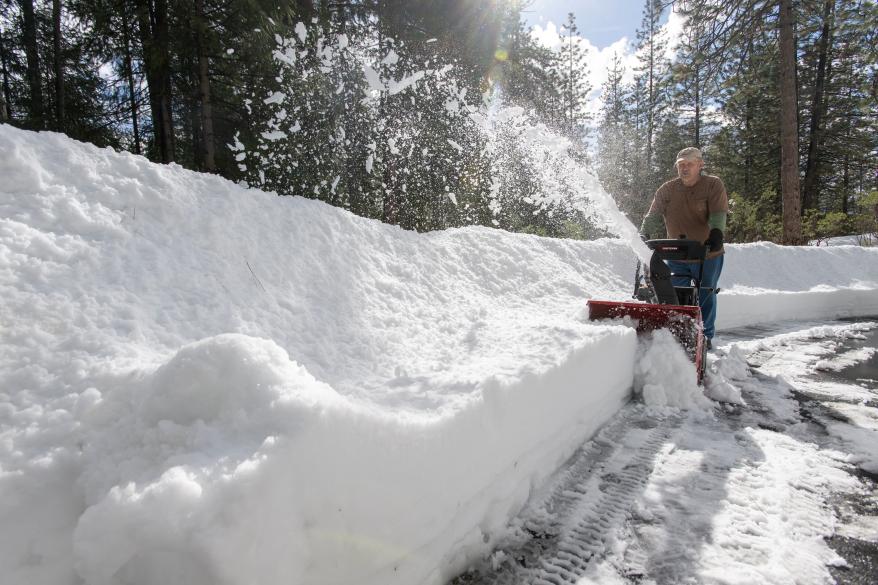
TRUCKEE, Calif. – First came all the snow in California.
Now comes all the rain, with an “extreme” risk of flash flooding for some regions.
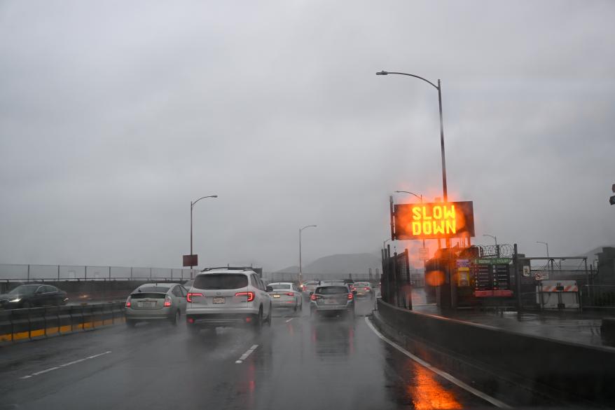
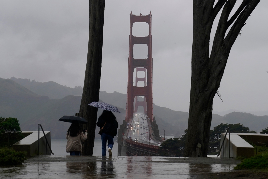
A potent atmospheric river – the latest in a winter season that’s featured about a dozen so far – is bringing California another round of heavy rain, damaging wind and extraordinary amounts of heavy snow to parts of the state that simply have too much of both right now.
For the lowlands, several inches of rain once again bring widespread flood alerts and mudslide concerns, while new snowfall totals in the highest elevations could reach 100 inches, and ridgetop wind gusts could climb over 100 mph.
The National Weather Service’s Weather Prediction Center has now issued an “extreme” risk of flash flooding for the Southern Sierra Nevada and the central California coast range south of Monterey as the latest computer guidance suggests the atmospheric river will be even warmer and wetter than previously forecast.
It’s the highest risk NWS officials can issue.
Atmospheric river impacts in California
Heavy rain and mountain snow started California on Thursday.
Flood Watches are spread across much of the state, including the entire Bay Area.
The storm is all falling in a state where more than half its counties are under a State of Emergency.
California Gov. Gavin Newsome added 21 more counties to the declaration on Wednesday, including those in the Bay Area.
Warmer storm brings dual flooding threat of heavy rain, snowmelt
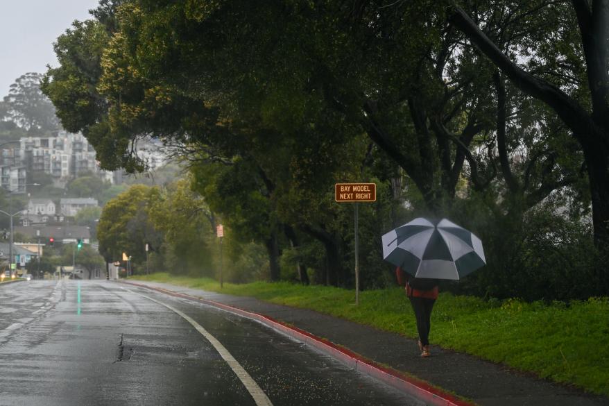
California’s coastal regions and valleys could see 2-3 inches of rain with some higher amounts, including the San Francisco Bay Area and Sacramento Valley.
The lower elevations of the mountains could see 3-5 inches of rain instead of snow this time as snow levels rise to about 7,000-9,000 feet.
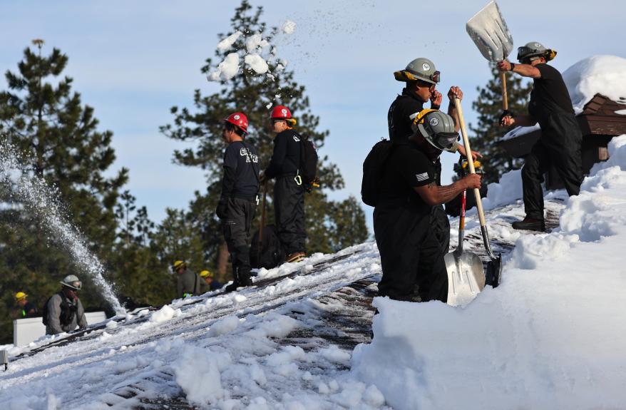
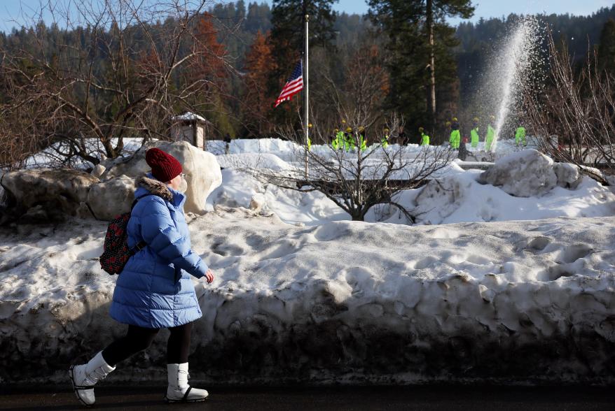
In lower elevation mountain communities that are still digging out from feet of snow at the hands of colder storms two weeks ago, warmer air will combine with the heavy rain and lingering snowpack to add melting snow to the flooding threats.
“That’s because an atmospheric river brings warmer weather,” FOX Weather meteorologist Stephen Morgan said. “This moisture is tapped from the tropics, the subtropics, and so it’s just naturally warmer. And that’s important because some of these snow levels with recent systems, we saw snow at about a thousand feet, so some people saw graupel along the beach. But the snow level is going to be more than perhaps 8,000 feet through the Sierra. And that’s significant. More than just the foothills are going to see rain.”
Extreme risk of a ‘potentially deadly and damaging flash flood day’
The FOX Forecast Center warned that areas of flash flooding are “very likely” to “extreme” in the Sierra and the coastal mountains and foothills by Friday, with “likely” flash flooding conditions around the Sacramento area and the entire coast from San Francisco to Santa Barbara.

In the extreme flash flooding risk areas – the highest rung on their excessive rainfall risk warnings – NWS forecasters express concern for “potentially unprecedented flooding in areas where reservoirs are already near full” and that isolated major flooding is possible over Monterey County. In nearby Santa Cruz County, river forecasts suggest the San Lorenzo River near Felton could reach major flood stage by Friday.
The NWS warns that these “extreme” excessive rainfall threats are only issued in about 4% of all storms, and in past storms have averaged nearly four deaths per day and millions of dollars in damage.
The NWS says that an extreme risk day accounts for 2 out of every five flood-related deaths in the Continental U.S., and about 80% of all flood related damage.
Officials in multiple counties are offering sandbag stations for residents, including Santa Cruz County along the coast, to San Mateo County in the Bay Area to Placer County up in the Sierra. The cities of San Francisco and Berkeley are also among those offering sandbags to residents.
State agencies are already warning residents about the potential runoff, which could lead to mudslides, flash flooding on roadways and swift-moving drainage canals and rivers.
Up to 100 inches of snow looms for higher Sierra Nevada elevations – again
In higher elevations of the Sierra and Siskiyous mountain ranges, snow totals will once again be measured in several feet.
In fact, you can pick a number between 1 and 100 inches and find a snow forecast for that amount in the varying elevations of the Sierra.
Winter Storm Warnings signal as much as 2-4 feet of new snow is expected above 7,000 feet, and 6-8 feet of snow or more above 9,000 feet in the central and southern Sierra. The National Weather Service said Tiaoga Pass could see 100 inches of new snow by the weekend.
Donner Pass, the height of Interstate 80’s busy journey through the Sierra, could see 3-4 feet of new snow in an area where around 300 inches of snow already sit.
“Our snow amounts across the Sierras right now are of historic proportions,” Placer County Sheriff Brian Estes told FOX Weather on Monday.
Damaging wind gusts could knock out power
As if the heavy rains weren’t enough, damaging wind gusts will spread their reach across much of the state Thursday into Friday, adding power outage threats to the weather woes.
Widespread gusts across the Bay Area and Sacramento Valleys are expected to reach 50-55 mph, with gusts to 60 mph along the coast and 65-75 mph along the mountain foothills.
Go even higher, and you’ll find hurricane-force winds, with gusts of 70-80 mph winds common along the high Sierra, including Donner Pass, leading to blowing snow, near zero visibility and tree falls. The mountain ridge tops near Lake Tahoe could see gusts of 100-120 mph, according to the region’s Winter Storm Warning.
And the extended forecast shows perhaps even more stormy weather later in the weekend and early next week.
Atmospheric river impacts linger into the weekend, then more storms?
While the heaviest rains will continue to fall Thursday night and Friday, rain and mountain snows will linger into the weekend.
The current storm fades into early Saturday, but more storms loom for Sunday and then possibly again early next week.
Read the full article Here


