Flooding to inundate parts of New York state through Monday
Widespread flooding is expected to continue saturating parts of New York through Monday, as videos emerged of heavy rain showers in Hudson Valley submerging vehicles and turning one roadway into a waterfall.
Most of the heavy flooding will swamp areas north of the five boroughs — spanning from Albany to the Canadian border east along I-87, Fox Weather meteorologist Christopher Tate told The Post.
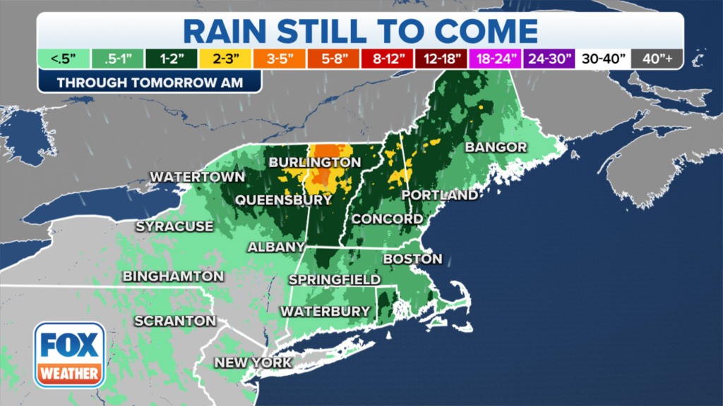
“All of the rain is going to be funneling into the Champlain Valley in Vermont and causing a real problem for folks in Vermont and northeastern New York,” Tate told The Post.
Regions north of Yonkers could see the total rainfall reaching anywhere between 2 and 8 inches, Tate said.
While the threat of flash flooding in northeastern New York, along the Vermont border, will remain high throughout the day, the rain will likely relent by early Tuesday.
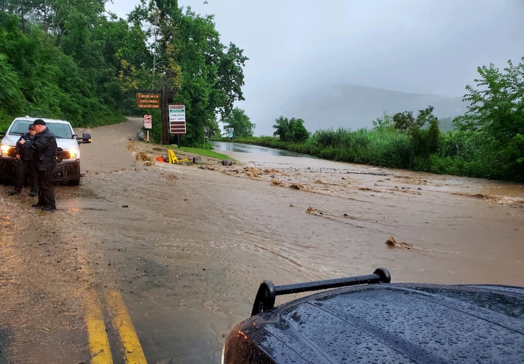
Rain in Albany should taper off by this evening, whereas the showers in the northeastern corner of the state are expected to persist into Tuesday morning, according to Tate.
Videos showed life-threatening floodwaters cascading down steep roadside cliffs — and turning roads into waterfalls — in the Hudson Valley on Sunday evening.
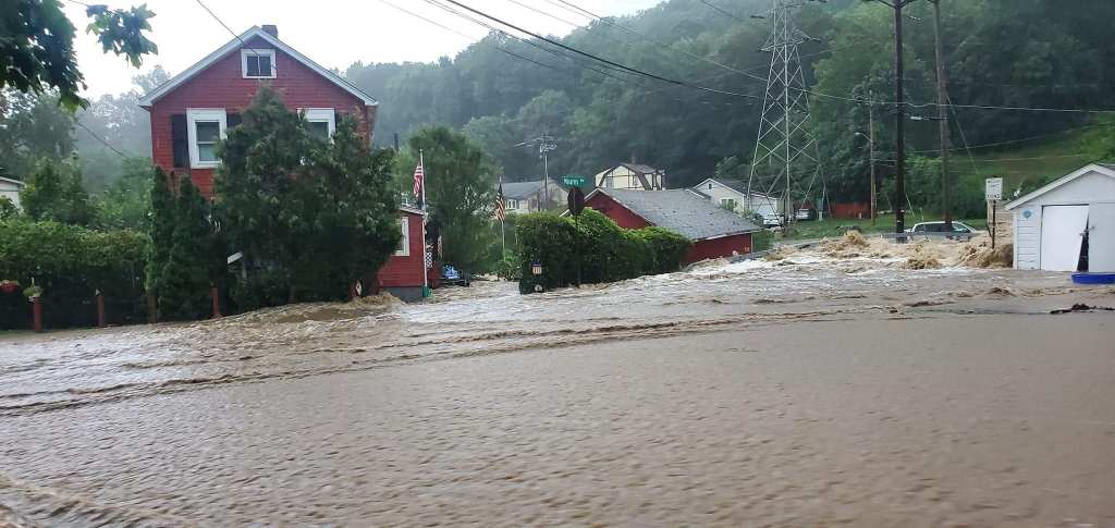
The unrelenting storm has also devastated the area around Highland Falls and West Point, home to the United States Military Academy.
The area picked up 8 inches of rain over the past 24 hours, according to Tate.
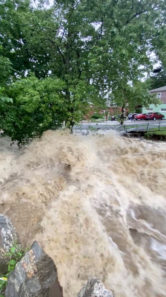
A photo shared to Twitter of a road in West Point showed massive pools of brown rainwater nearly covering the tops of cars on a road.
Officials are worried that some historic buildings there might have been damaged in the storm.
Another video captured the severe damage the powerful storm caused on Route 218, Storm King Highway, in Orange County, where a large chunk of the highway appears to have been swept away.
On Sunday night, a woman in her 30s drowned as she tried to flee her home with her dog, County Executive Steve Neuhaus said.
“Her house was completely surrounded by water. The family tried to escape,” he said. “She was trying to get through [the floodwaters] with her dog and she was overwhelmed by tidal-wave-type waves.”
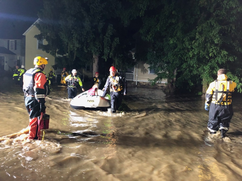
Several New Yorkers remained unaccounted for late into the night Sunday as the storm continued to pummel much of the state.
Toward the Canadian border, the town of Saranac in Clinton County received over 3 inches of rain as of Monday morning, according to Tate.
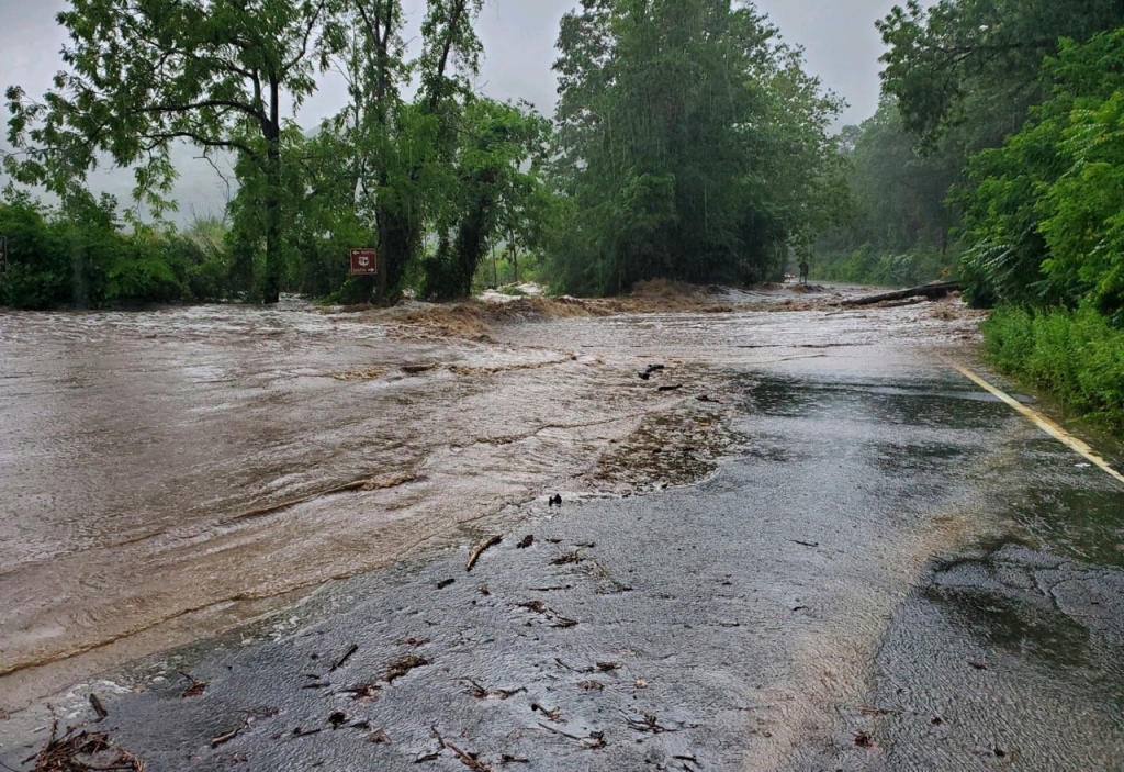
Down in Dutchess County, Stanfordville also saw about three and a half inches of rain, Tate said.
Sunday night, Gov. Kathy Hochul declared a state of emergency for Orange and Ontario counties, stating that they “experienced life-threatening flooding over the past few hours” — totaling about 8 inches of rain by 10 p.m.
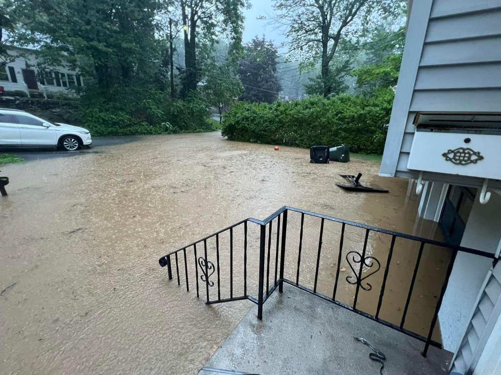
Officials said the storm had already caused tens of millions of dollars in damage.
Amtrak announced it suspended service from Albany to New York City due to the severe weather, and didn’t state it when planned to resume operations in impacted parts of the Northeast Corridor.
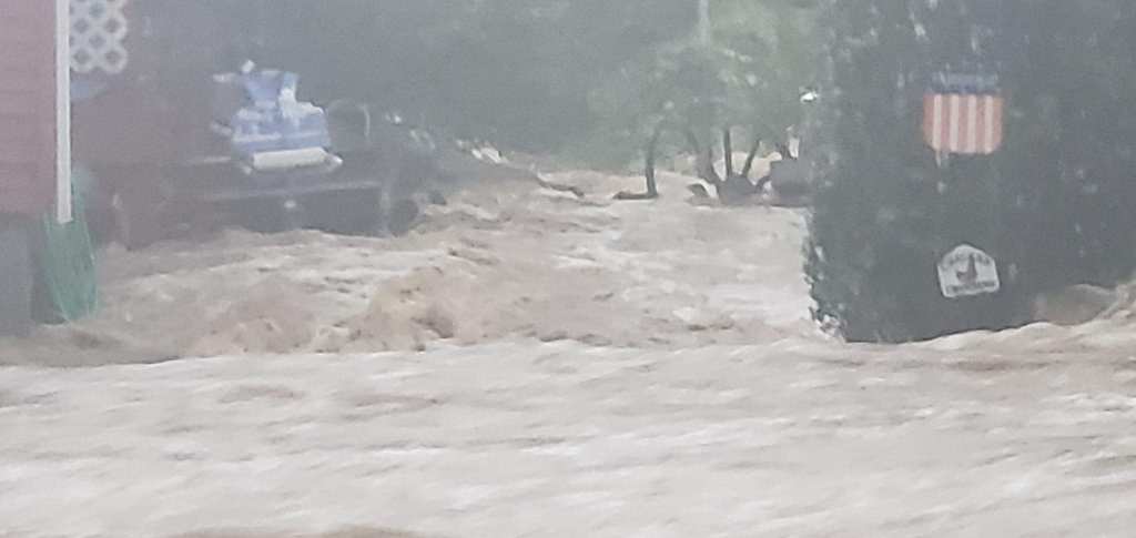
NOAA placed areas of upstate New York and Vermont under an extreme risk for flash flooding, and NWS meteorologists caution that some of the flooding may break records set during Hurricane Irene in 2011.
Almost 53 million people along the Eastern Seaboard were at risk of flooding through Monday morning, according to Fox Weather.
Millions of people from Washington, DC, through Philadelphia and New York and up to Vermont faced the most serious risk.
Read the full article Here


