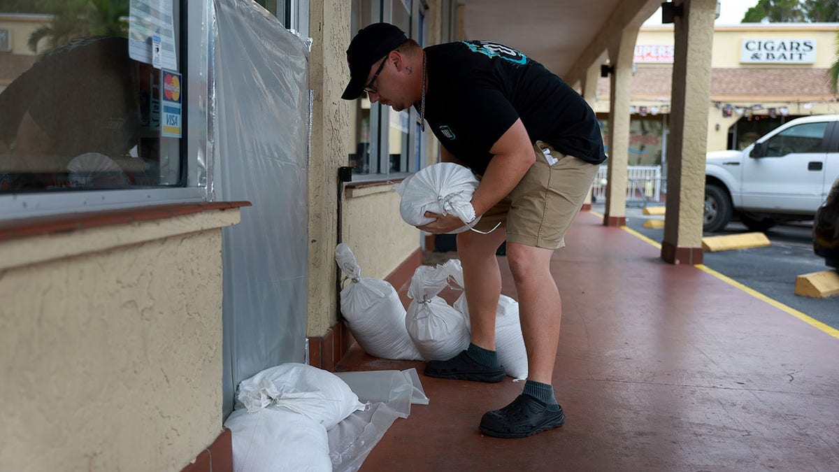
Florida residents shovel piles of sand into bags as Idalia approaches: video
A video has captured Florida residents shoveling large piles of sand into bags as Hurricane Idalia aims for the state’s Gulf Coast and Panhandle.
The footage released by the Sarasota Police Department shows locals swarming the mounds of sand in the parking lot of Ed Smith Stadium, the spring training facility of the MLB’s Baltimore Orioles.
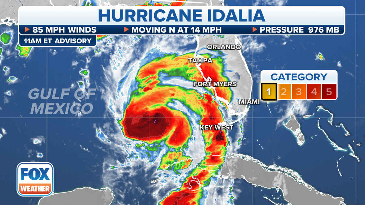
The scenes come as the National Hurricane Center warns that Idalia, currently a Category 1 storm, is “forecast to be a major hurricane when it reaches the Gulf Coast of Florida Wednesday morning.”
“The first part of today is your last chance to take action to make your situation better after the storm has passed,” FOX Weather hurricane specialist Bryan Norcross says. “Look around. Pick up things that can blow in the wind. Park your car on high ground, away from trees, or in protected places. Have a way to charge your cellphone from your car.”
FOX WEATHER ANNOUNCES SPECIAL PROGRAMMING TO COVER HURRICANE IDALIA
As of midday Tuesday, at least 46 counties in Florida are under a state of emergency, with 23 issuing evacuation orders amid fears that a storm surge of up to 15 feet could flood coastal communities, FOX Weather is reporting.
“Hurricane Idalia will likely be an unprecedented event for many locations in the Florida Big Bend. Looking back through recorded history, NO major hurricanes have ever moved through the Apalachee Bay,” the National Weather Service’s Tallahassee office said on X, formerly known as Twitter. “When you try to compare this storm to others, DON’T. No one has seen this.”
FLORIDA GOV. DESANTIS EXPANDS STATE OF EMERGENCY AS HURRICANE IDALIA EXPECTED TO MAKE LANDFALL WEDNESDAY

The NWS said in a midday advisory that Idalia currently has maximum sustained winds of nearly 85 mph and is located about 275 miles south-southwest of Tampa.
Its forecasters predict Idalia’s hurricane-force winds will extend 15 miles from the center.
Regarding rainfall, the storm is expected to dump 4 to 8 inches from Tuesday into Thursday for portions of the west coast of Florida, the Panhandle, southeast Georgia and the eastern Carolinas.

There also are “Isolated higher totals of 12 inches possible, primarily near landfall in northern Florida,” the NWS says.
Read the full article Here


