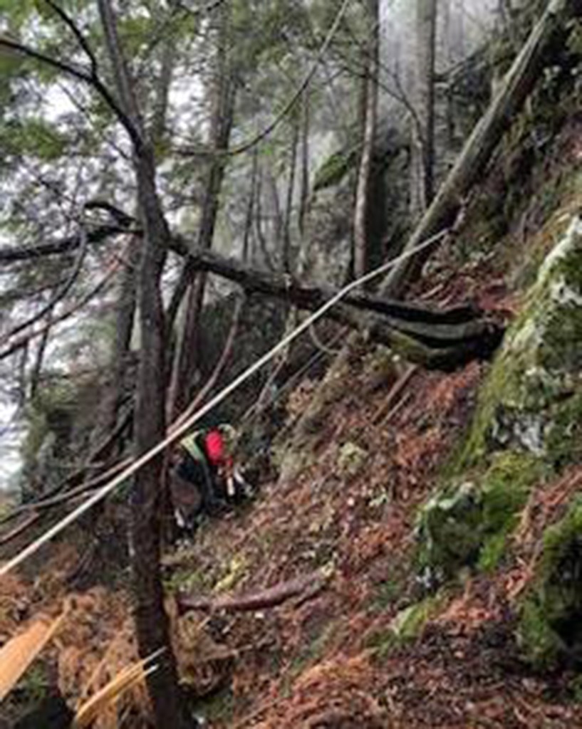
Hiker stranded on a cliff in Canada after following fake trail on Google Maps
Maybe this hiker should have Googled where he could buy a paper map.
A hiker had to be rescued via helicopter in British Columbia after he got lost — because he followed a made-up trail on Google Maps.
It was the second time in X that a hiker got lost relying on the high-tech map app, authorities said.
Vancouver-based North Shore Rescue shared in a Facebook post that an unnamed hiker found himself stranded on a cliff on the backside of Mt. Fromme, just north of Vancouver, after attempting to reach the peak’s summit.
A pair of rescuers were brought in by air and dropped into the heavily forested area during the Nov. 4 rescue.
After locating the lost hiker, who according to NSR had minimal gear, no flashlight and poor footwear for his trek, the rescuers brought him down to an area where the helicopter could retrieve the trio.
NSR said the rescue was the second in two months for hikers trapped on Mt. Fromme, both of which appeared to be the result of people following the fake trail displayed on Google Maps.
In reality, the area — which is very steep — lacks any trails.
In a Monday update, NSR said Google Maps had deleted the nonexistent trail after learning about the hazardous glitch.

NSR advised would-be hikers to avoid using Google Maps for hiking and instead use apps designed for the outdoors like CalTopo or Gaia or a paper map and compass.
It also insisted people who rely on phones for hiking navigation pack a backup battery, and that they research areas where they plan to hike to make sure they know the terrain and if trails are even available.
Read the full article Here


