Mauna Loa lava, ash and gas seen from space in satellite imagery
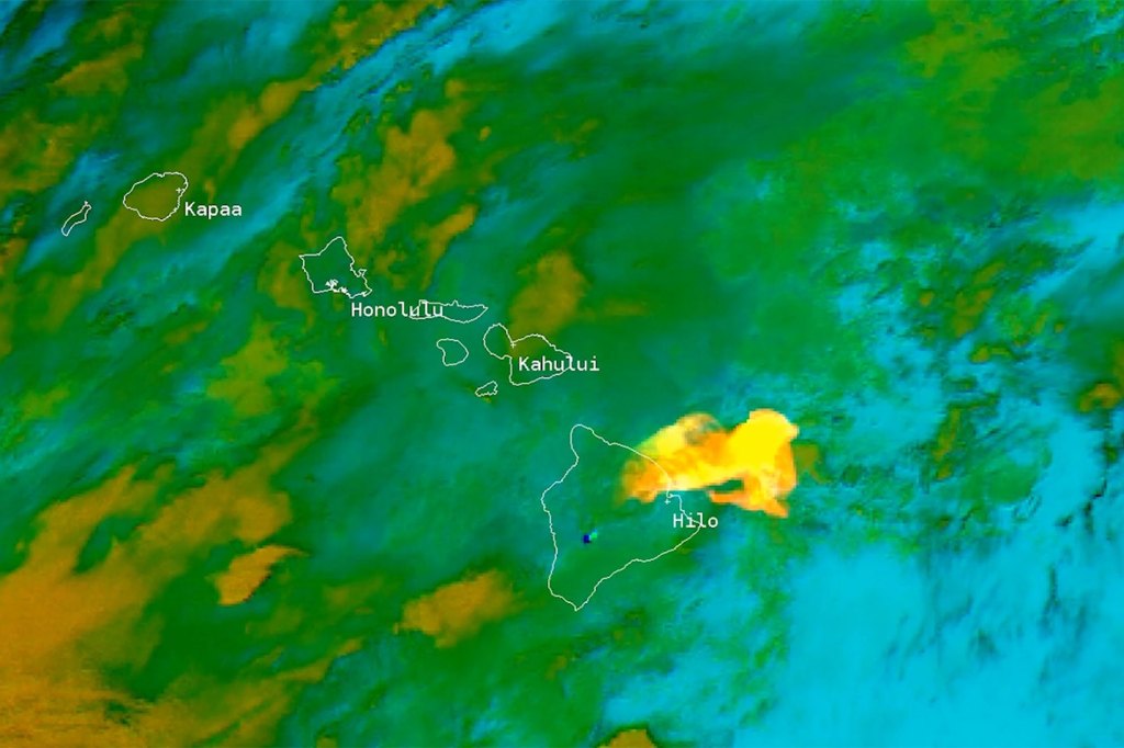
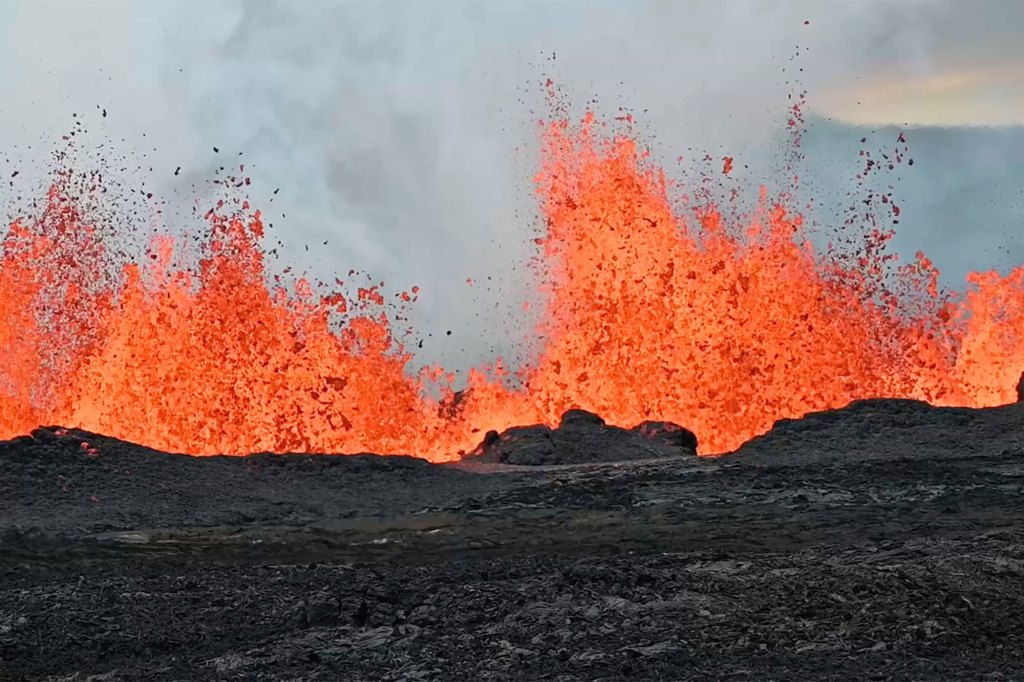
Satellite imagery from NOAA shows Mauna Loa oozing lava onto Hawaii’s Big Island and spewing ash and gas into the atmosphere.
One video shows points of red-orange – the lava flow – piercing through the brown and green backdrop of the tropical island.
Another image shows plumes of white ash being pumped into the sky, melting into the fluffy tapestry of clouds floating by.
Other footage shows sulfur dioxide emissions slowly being released, almost as if the volcano were letting out a long, deep sigh.
The satellites that captured these images were the GOES-17, GOES-18, NOAA-20 and Suomi NPP satellites.
GOES-17 monitored in real-time the eruption and volcanic plumes, according to NOAA.
GOES-18 provided views of the lava field’s hottest areas, along with the ash and vapor emissions.
NOAA-20 captured ultra-high-resolution imagery of the eruption on Nov. 28.
Suomi NPP, along with NOAA-20, GOES-17 and GOES-18, tracked sulfur dioxide emissions from the eruption. When released, sulfur dioxides react with gases and particles in the atmosphere to create vog, a hazardous form of air pollution.
Mauna Loa began erupting on Nov. 27 at 11:30 p.m. local time, the first time it has erupted in 38 years.

As of Thursday, lava flow from the largest active volcano on the planet has slowed down from traveling at 40 feet per hour to 20 feet per hour, according to the Hawaii Volcano Observatory.
The observatory also noted that lava flow from the Mauna Loa’s only active fissure, fissure 3, is now 1.7 miles from a major highway on the island, Saddle Road.

Also known as Hawaii Route 200, the highway might need to be shut down as the lava approaches, so officials closely monitor the situation.
The lava flow does not pose a threat to the island’s 200,000 residents, according to the Hawaii County Civil Defense Agency.
Read the full article Here


