New York to beat the heat while temps broil the Southwest
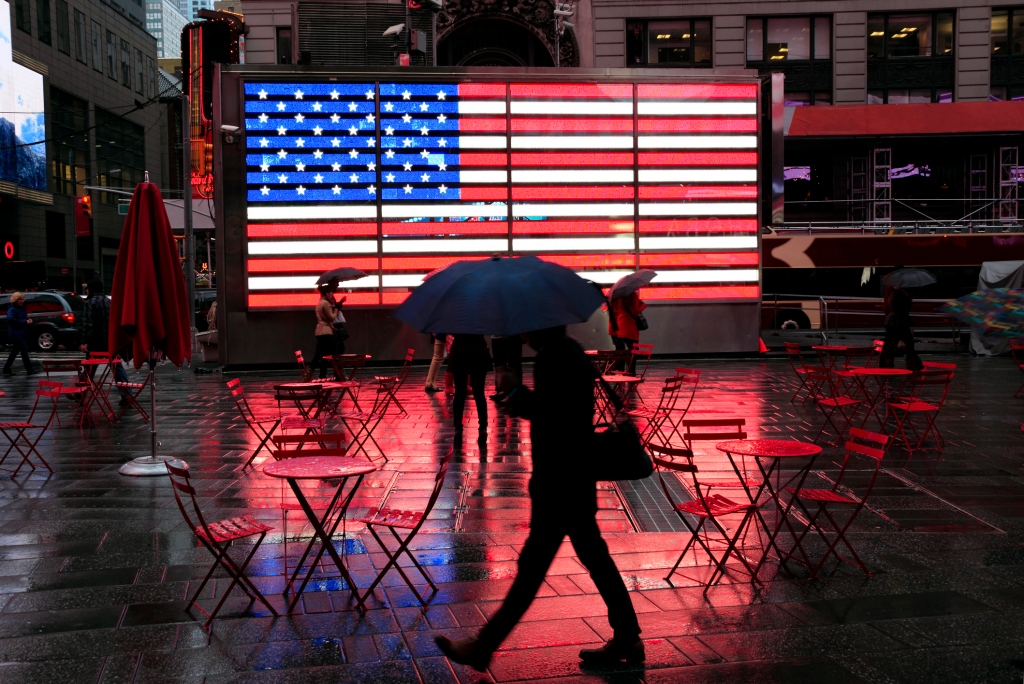
After soaring temperatures baked the Big Apple this week, New Yorkers will see some relief in the coming days while other parts of the country won’t be so lucky.
“After a couple of toasty days up here in the Northeast that I am glad are behind us, we’re back to about average,” Fox Weather meteorologist Christopher Tate told The Post Saturday.
The thermometer was in the mid-80s Saturday afternoon, though high humidity helped the “real feel” temp reach as high as 99 degrees in some parts of the city.
Temps should stay in the 80s for the next few days, flirting with 90 degrees later in the week in the five boroughs, Tate said.
But summer thunderstorms will provide some relief.
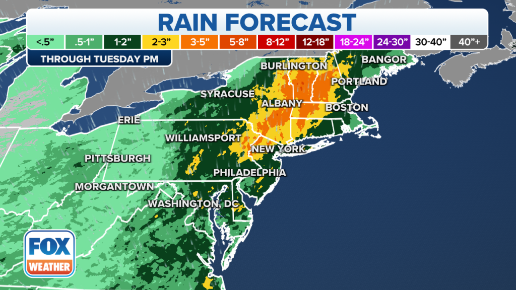
Central Park should see a couple of heavy thunderstorms overnight and on Sunday. A flash flood alert is in effect for the Northeast due to rainfall forecast from Sunday through Tuesday.

Around New York City, the greatest risk of flooding will be from Sunday evening to early Monday, according to AccuWeather.
“I wouldn’t be surprised if we see an occasional report here or there of some standing water causing some issues or maybe some drains getting backed up but it shouldn’t be anything major,” said Tate.
Monday should be clearer, but Tate couldn’t promise there won’t be some thunder.


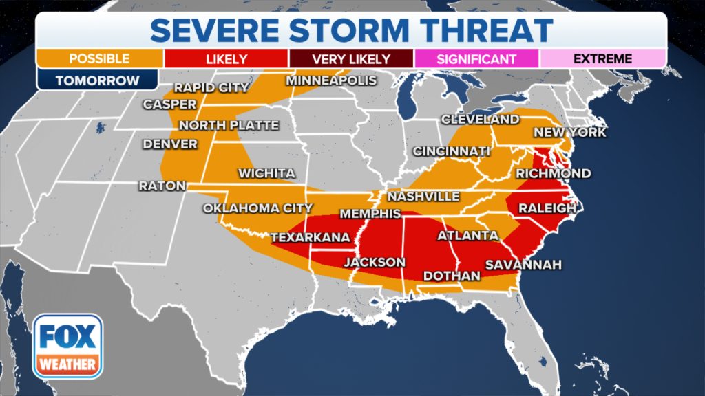
The southeastern United States, which experienced a blistering heat wave this week, will also get some relief, but at the expense of severe storm threats and a cold front rolling through.
The deadly heat throughout the Desert Southwest, however, will drag on, with 110-plus degree heat stretching past two weeks.
“They’re setting up for what could be one of the longest stretches of 110-degree or higher high temperatures, potentially even on record,” said Tate. “That would get them into territory where they would rival past heat waves, even by Southwest standards.”

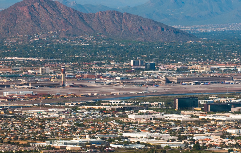
Hot air is less dense than cold air, Tate explained, which could impact air travel in the area because it is harder to lift planes.
“Southwestern airports, notably including Phoenix Sky Harbor International Airport may have difficulties getting especially large aircraft off the ground,” he said.

And while it might feel like the Sahara in parts of the country, Florida is actually getting a piece of the African desert. A layer of Saharan dust is settling on the state, caused by strong winds that carry small sand particles from the Saharan Desert far across the Atlantic Ocean, the Miami Herald reported.
While it can make for colorful sunsets, it can be harmful to people with asthma and other respiratory issues.
Read the full article Here


