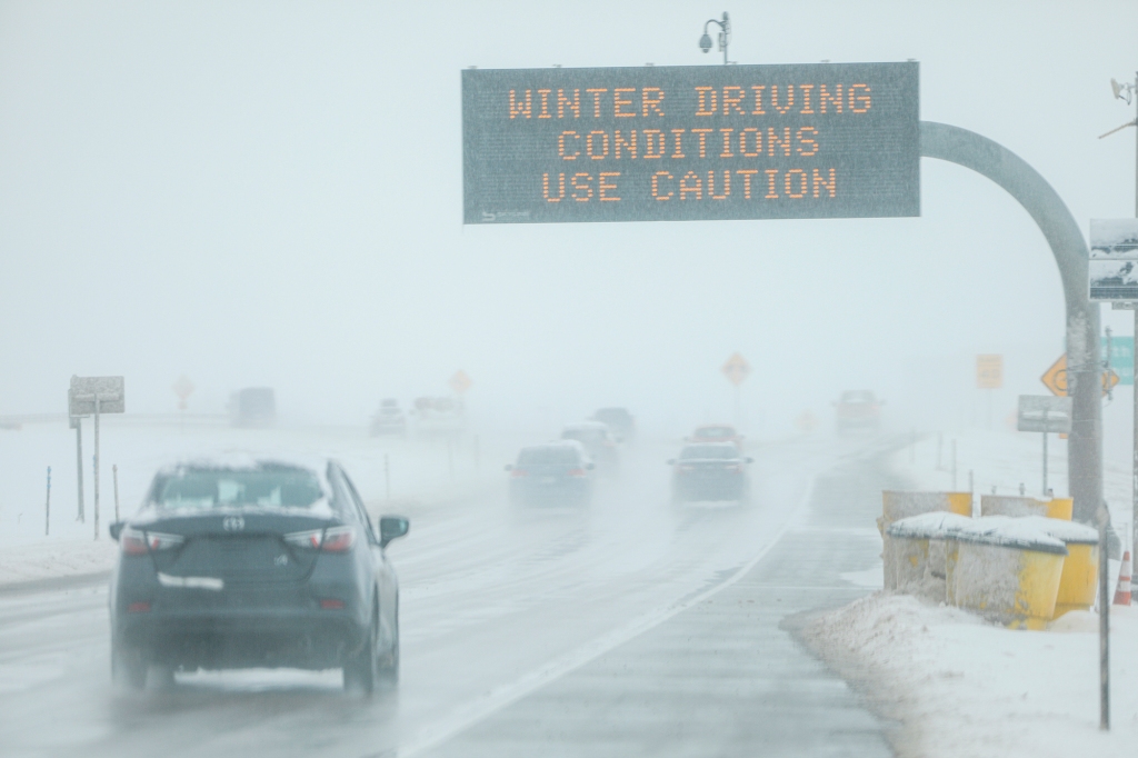
Storm brings possible flash floods, severe storms and northern snow
So many still cleaning up from the crippling ice storm last week are looking over their shoulders at the new storm hitting the same areas. This week’s midweek storm brings the possibility for flash floods, severe storms and northern snow. The next system ramps up Tuesday and will impact the eastern two-thirds of the nation through the end of the week.
Monday is the calm before the storm as the low pressure center spins up and takes aim.
Tuesday
“The return of plentiful moisture will lead to a severe risk for parts of Texas, most notably Southeast Texas, where a few storms may briefly turn severe with large hail, damaging winds, and a tornado,” said the FOX Forecast center.
“It’s still unclear if the ingredients for severe weather will come together in time, which may act to increase or decrease the severe potential leading up to Tuesday,” the Forecast Center continued.
By Tuesday night the rain crawls into the Midwest as well. Areas hit hard by the ice storm will see heavy rains and are at risk for flash flooding.
“Storms will be efficient rainmakers, easily exceeding over 1-2 inch per hour rain rates. Given already saturated soils in place, an area of greater threat for flash flooding will exist from Houston to Little Rock,” said the Forecast Center. “A widespread soaking 2-3 inches of rain is expected across parts of the Southern Plains and Mississippi Valley Tuesday through Thursday.”
Wednesday
The flood threat increases into the overnight Tuesday, and peaks after sunrise on Wednesday.
“Rain is expected to stretch from Indianapolis to New Orleans by midday Wednesday along the quickly moving cold front. Some severe potential will exist, mostly in the form of damaging winds, but this potential is unclear at this time as it is highly dependent on the evolution of storms on Tuesday,” said the center.

As the cold air wraps counterclockwise around the system, snow works its way into Kansas, Iowa and Wisconsin.
“The highest snow totals are highly dependent on the exact track of the system. Forecast models suggest the areas that could see the most snow are along a line from Eastern Kansas northward to Wisconsin,” said a FOX forecaster. “Upwards of 5 inches of snow could fall, which may lead to some impacts during the morning and evening commute.”
“Forecast models indicate the timing for this snow would begin late Wednesday in Eastern Kansas, and reach Wisconsin by Thursday afternoon,” explained the center.
Thursday
The storm charges east Thursday. The fast moving front soaks the Appalachian Mountains in the morning. Drivers on the I-95 corridor will need windshield wipers by afternoon.
“This rain will spread along the east coast during the day Thursday before heading out into the Atlantic Ocean by Friday,” explained the center. “Some lingering thunderstorms will be possible in Florida Friday as the front stalls across the Sunshine State. Around 1-2″ of rain will be possible along the East Coast from this storm system.”
On the snowy side, Kansas City and Des Moines could see up to 3 inches of snow while Green Bay could net as much as 5 inches.
Friday
On the cold side, FOX Weather is already tracking another storm for the northern tier of states.
“A second system will quickly swing through the same areas Friday into Saturday, and with more cold air in place than previously, some additional snow totals upwards of 3 inches will be possible,” said the Forecast Center.
Read the full article Here


